Key Highlights
Best Time
October – March
Entry Fee
Free (open area)
Timings
Open 24 hours (viewpoints best at sunrise/sunset)
Overview
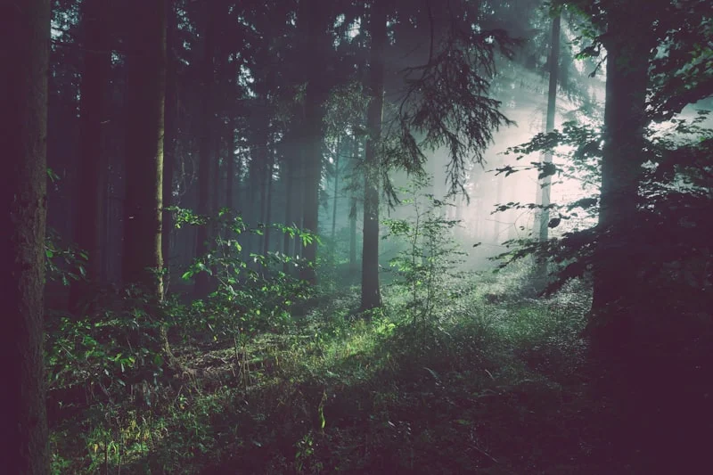
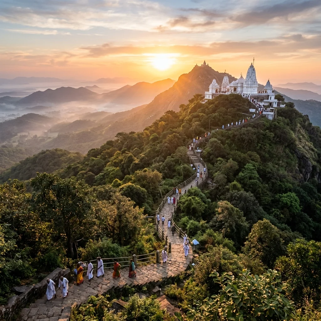
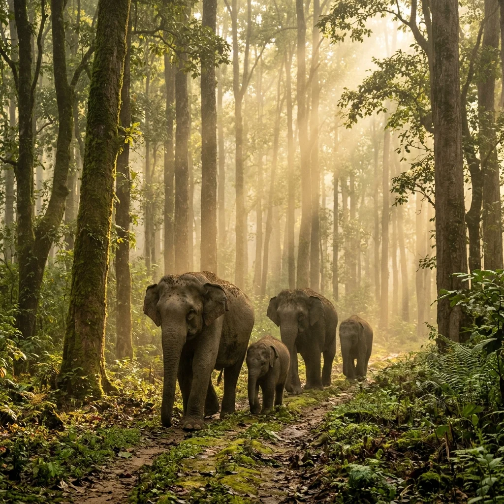
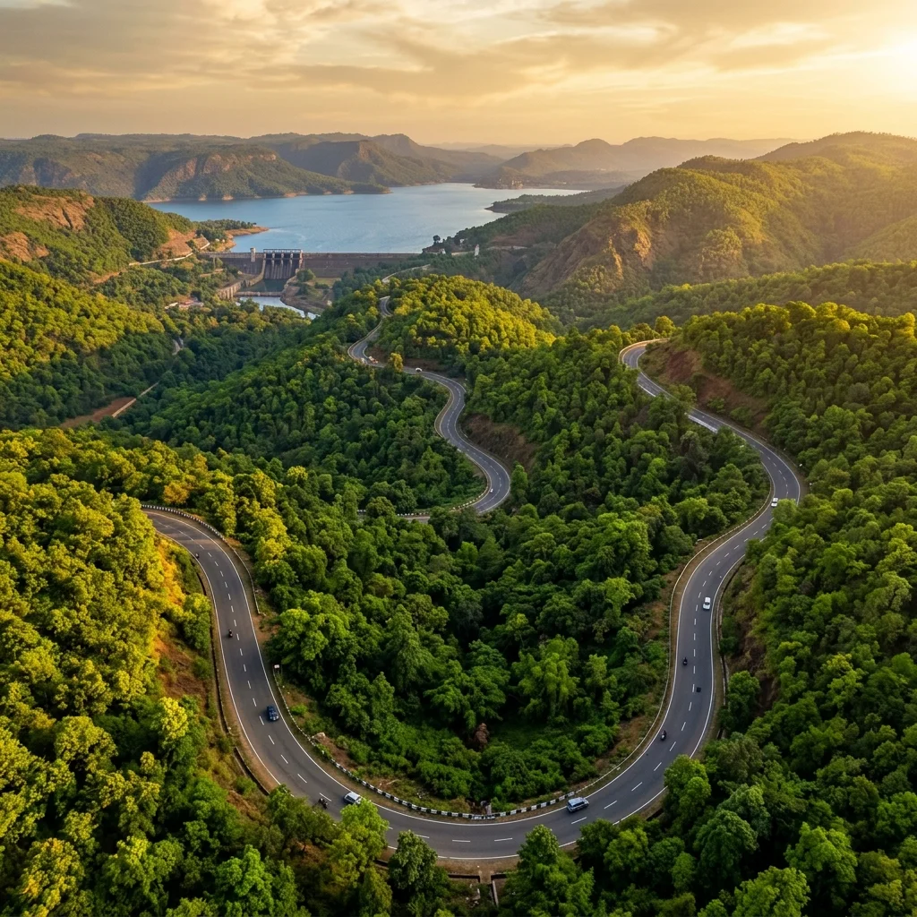
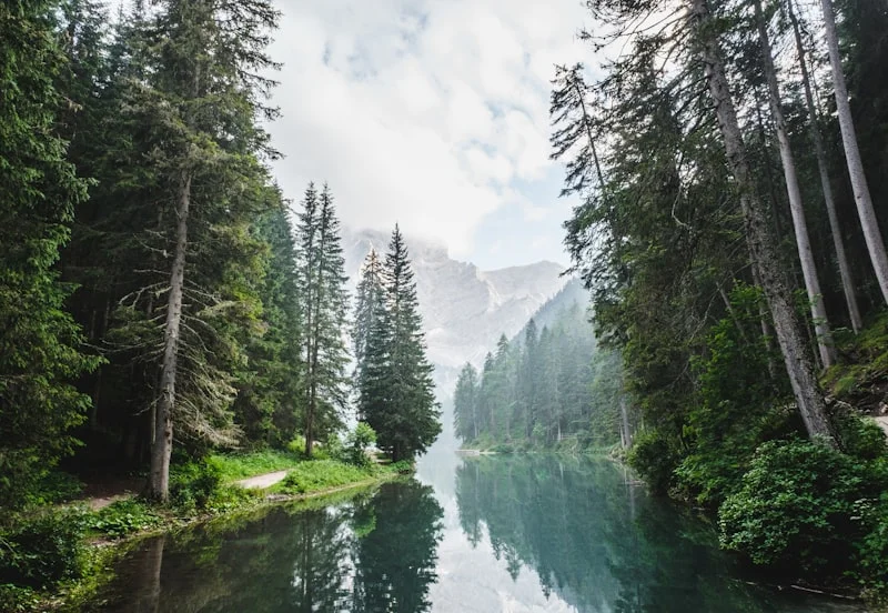
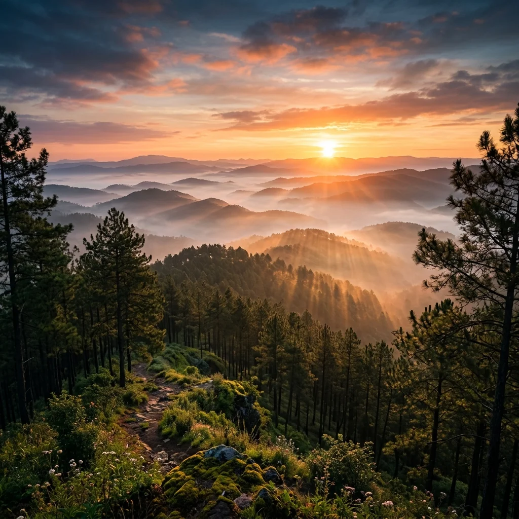
Tucked away at an altitude of 1,128 metres (3,700 feet) above sea level, Netarhat is an ethereal hill station often referred to as the "Queen of Chotanagpur." It sits on a massive "pat" or flat-topped plateau in the Latehar district, offering a refreshingly cool climate, misty mornings, and panoramic vistas of the surrounding dense sal and eucalyptus woodlands. Unlike standard commercial hill stations, Netarhat retains its pristine, untouched charm. The plateau is a unique ecological crossroad where towering, fragrant pine groves planted during the British colonial administration stand alongside native tropical deciduous trees. Visitors are drawn to the legendary sunrise views from the town center and the dramatic sunset at Magnolia Point, named after a tragic colonial-era romance. The crisp mountain air, the scent of pine needles underfoot, and the tranquil atmosphere make it a sanctuary of peace.
History & Significance
Netarhat was developed as a hill retreat during the British colonial era. The pine plantations were introduced by the British Forest Service in the early 20th century. The area was historically part of the Chotanagpur Nagvanshi kingdom. Netarhat Residential School, established in 1954, has produced many notable alumni including IAS officers and scientists.
Cinematic Experience
Watch Cinematic Drone Tour
Experience the stunning landscapes of Netarhat in motion.
How to Reach
By Air
Birsa Munda Airport, Ranchi (155 km). Hire a cab.
By Rail
Latehar Railway Station (65 km). Taxis available.
By Road
Drive from Ranchi via Lohardaga–Mahuadanr road. The drive through the forests is scenic. JKSRTC buses run from Ranchi.
Distance & Travel Time
| From |
Distance |
Approx. Time |
| Ranchi |
155 km |
4 hours |
| Latehar |
65 km |
2 hours |
| Lohardaga |
100 km |
3 hours |
| Patna |
480 km |
9 hours |
Best Time to Visit
Winter months offer the best weather with crisp mornings and clear skies for sunrise viewing.
Nov–Feb
Winter
Best Season
Sep–Oct
Autumn
Great Weather
Jun–Aug
Monsoon
Lush but Rainy
Things to Do
- Watch the legendary sunrise from Magnolia Point
- Walk through the pine forest trails
- Visit Netarhat Residential School campus
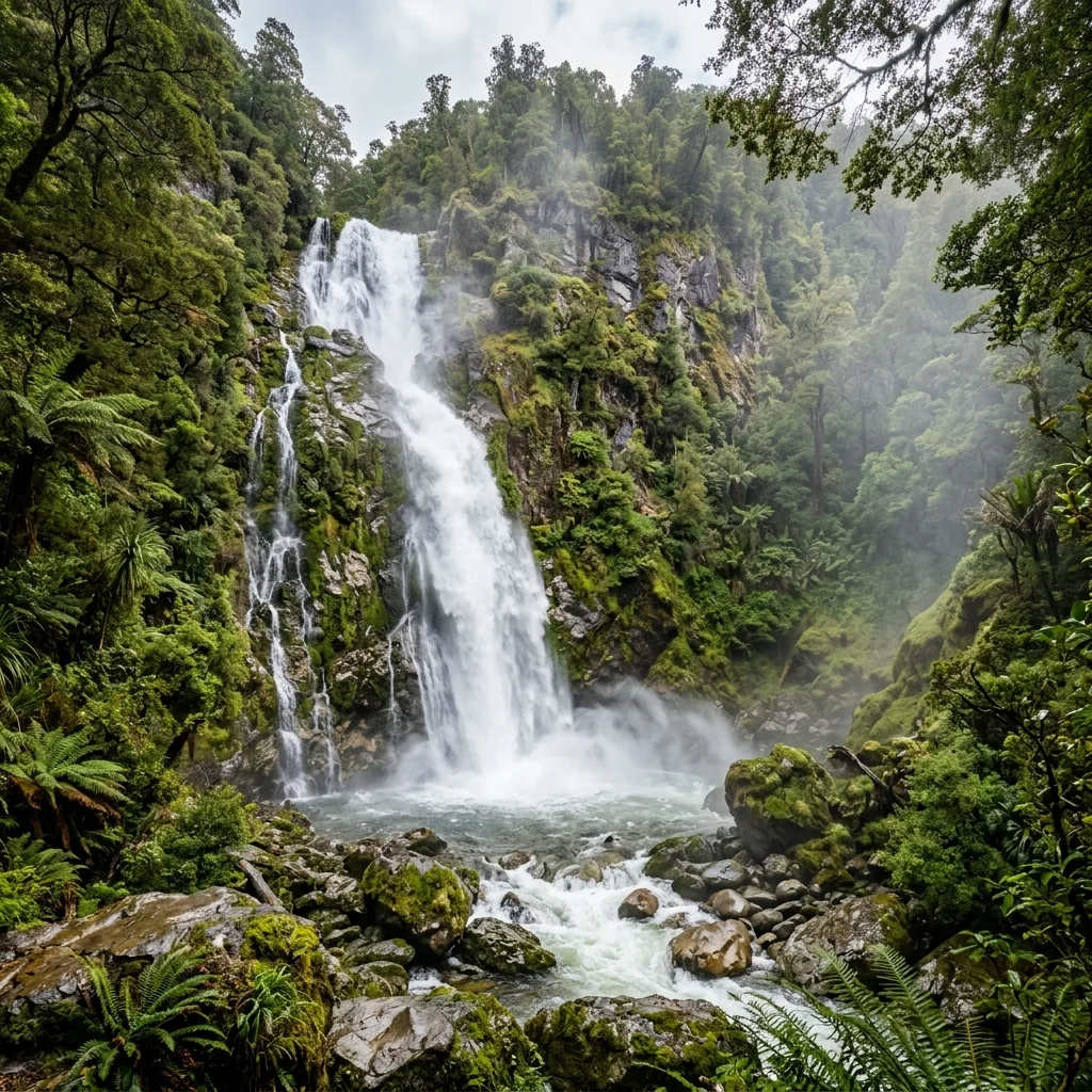
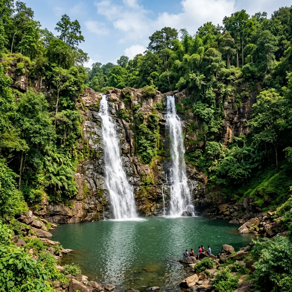
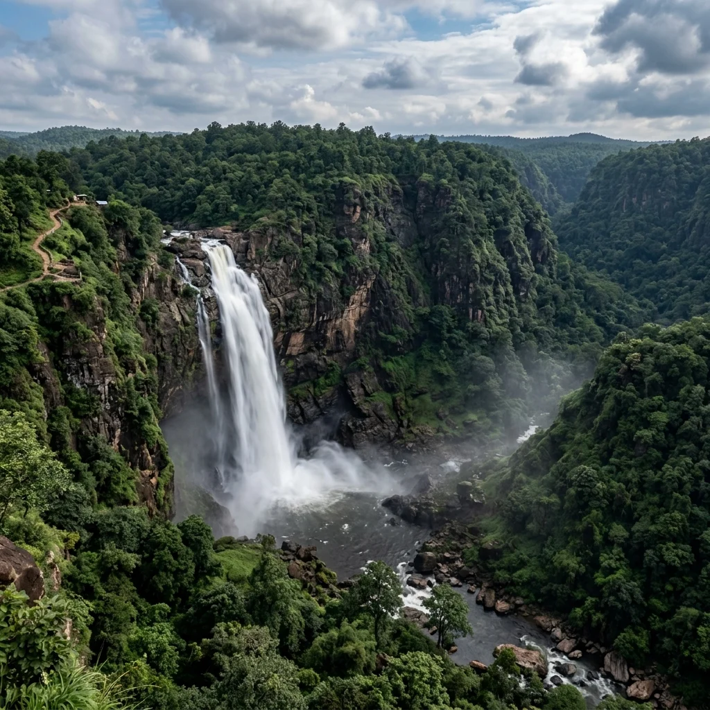
- Explore the Upper and Lower Ghagri waterfalls
- Photography at sunset point
- Star-gazing at night (minimal light pollution)
Tips & Essentials
- Book accommodation in advance — options are limited
- Carry warm clothing even in summer — nights are cold
- The sunrise is visible around 5:30-6:00 AM — reach the viewpoint early
- No ATMs in Netarhat — carry sufficient cash
- Mobile network coverage is patchy — BSNL works best