Key Highlights
Best Time
November – March
Timings
6:00 AM – 5:30 PM
Difficulty
Easy to Moderate
Overview
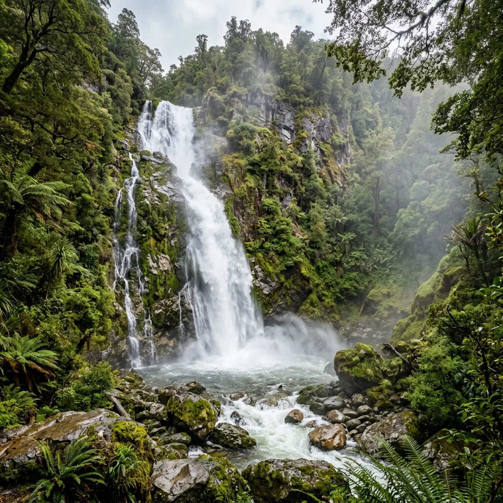
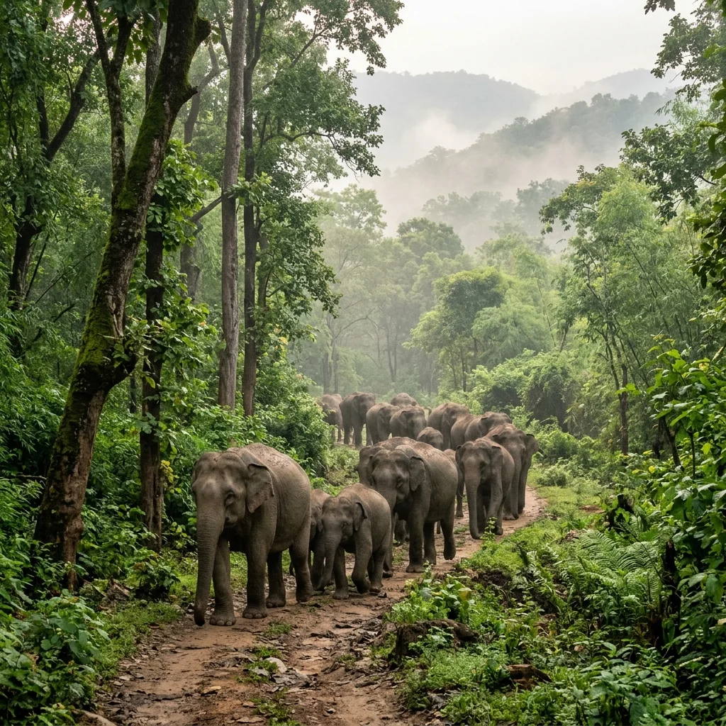
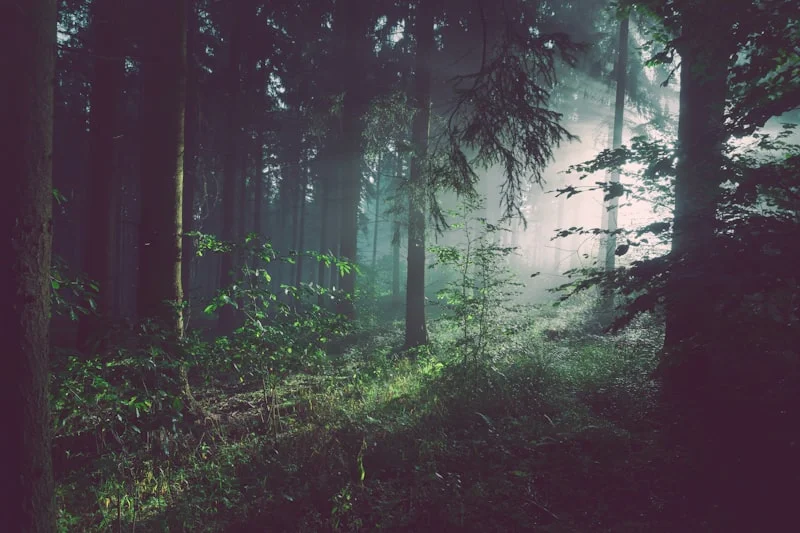
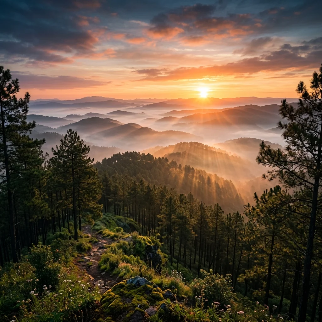
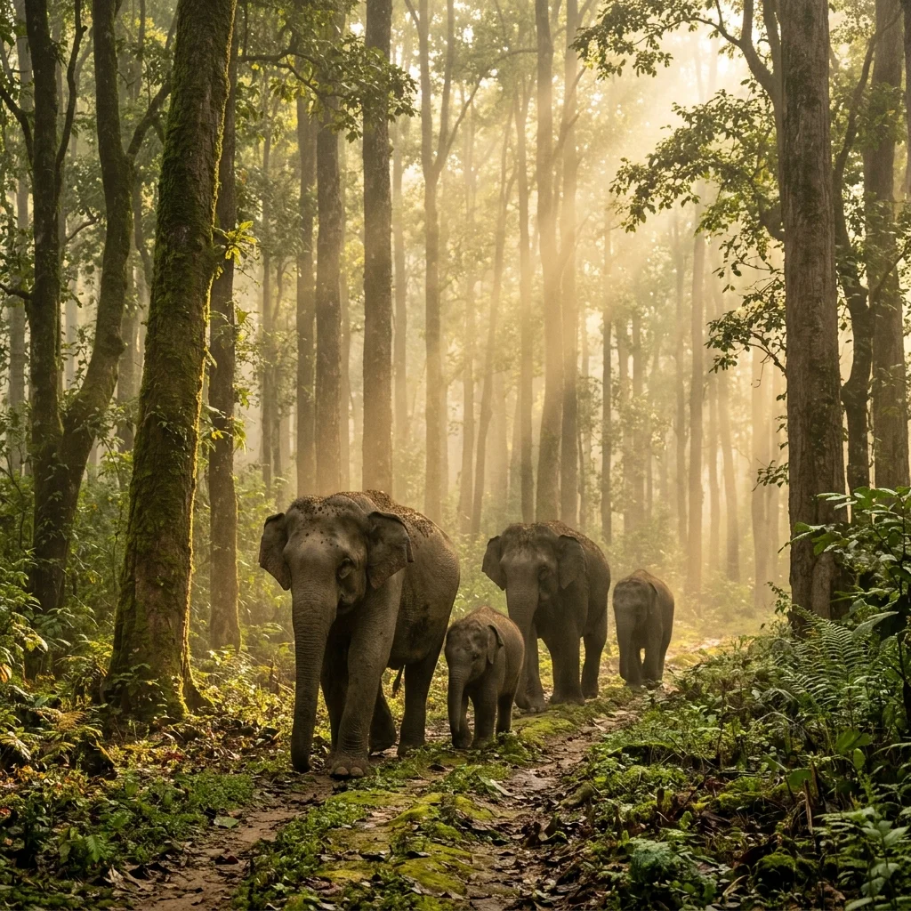
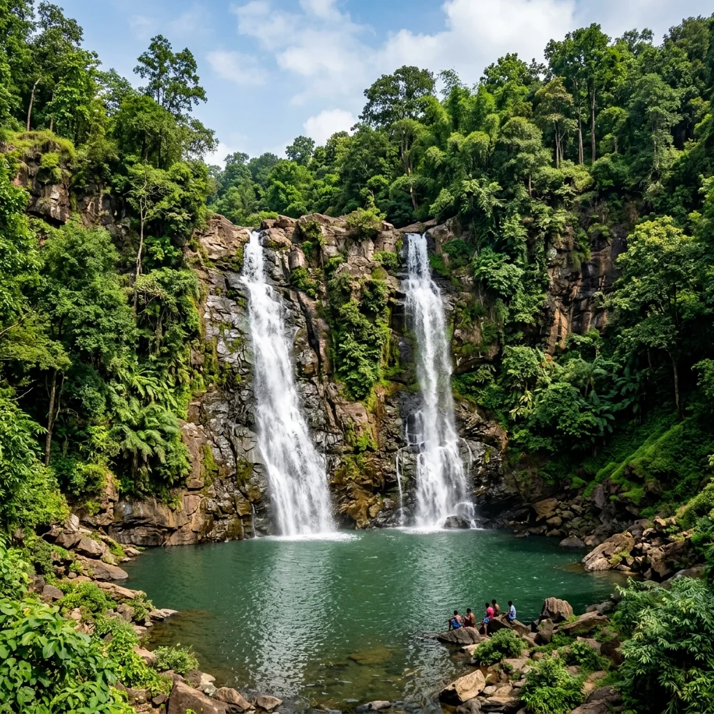
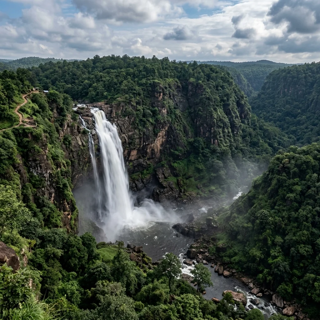
Hazaribagh Wildlife Sanctuary covers 186 square kilometres of the Hazaribagh plateau, featuring a mix of dense sal and mixed deciduous forests, open grasslands, and rocky outcrops. The sanctuary is home to leopards, sambar deer, nilgai, chital, wild boar, and a variety of bird species. One of its unique attractions is the natural hot water spring at Surajkund, located near the sanctuary, where thermal water emerges at temperatures around 88°C. The Canary Hill viewpoint within the sanctuary offers splendid views of the forested plateau stretching to the horizon.
History & Significance
The sanctuary was established in 1955, making it one of the oldest wildlife sanctuaries in Jharkhand. The town of Hazaribagh was a popular hill retreat during the British era due to its elevation and cool climate.
How to Reach
By Air
Birsa Munda Airport, Ranchi (100 km).
By Rail
Hazaribagh Road Railway Station (67 km from town) on the Grand Chord line.
By Road
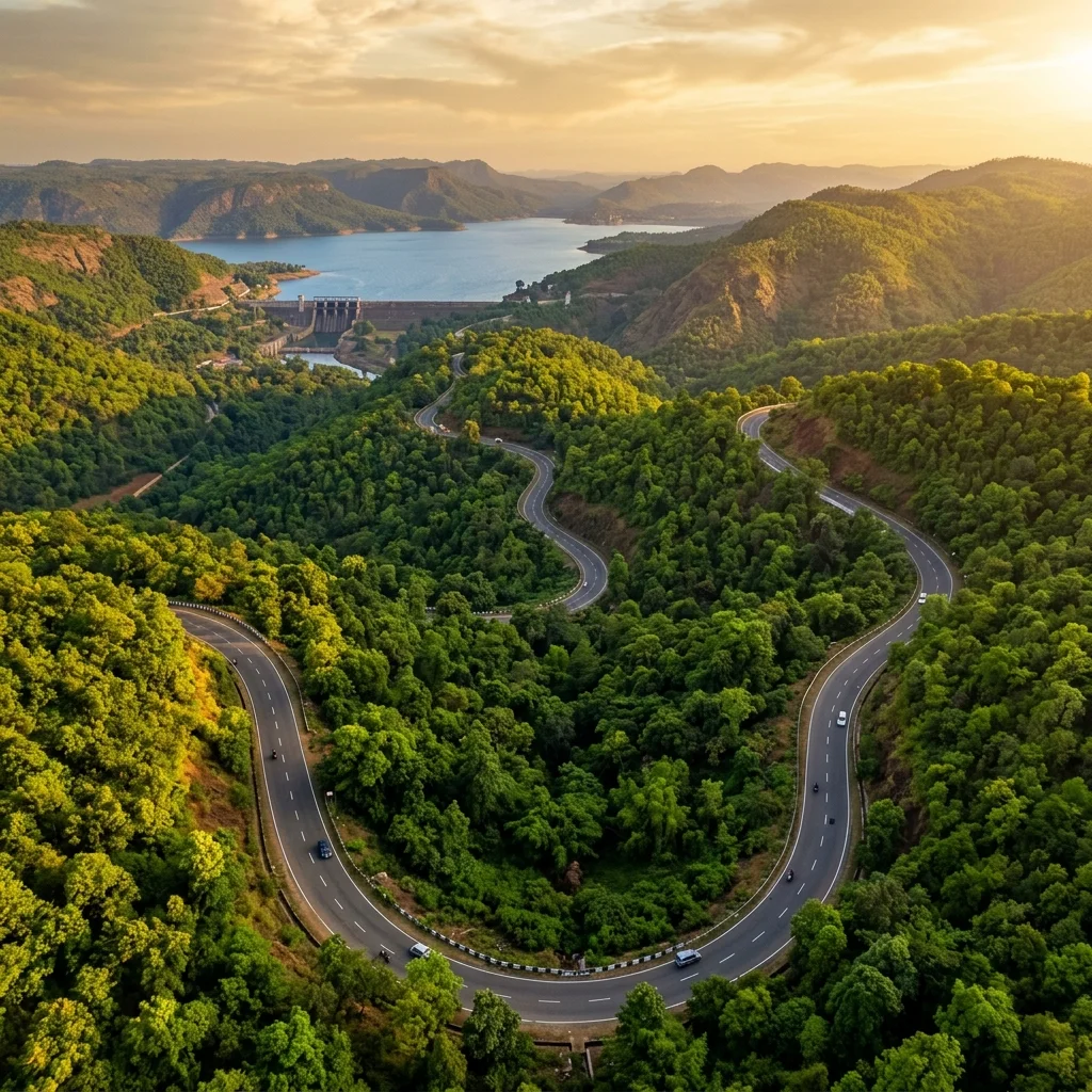
NH-33 connects Ranchi to Hazaribagh directly (100 km). Regular bus services available.
Distance & Travel Time
| From |
Distance |
Approx. Time |
| Ranchi |
100 km |
2.5 hours |
| Bokaro |
60 km |
1.5 hours |
| Dhanbad |
130 km |
3 hours |
| Patna |
250 km |
5 hours |
Best Time to Visit
Winter offers pleasant weather and better wildlife visibility.
Sep–Oct
Post-Monsoon
Lush
Things to Do
- Wildlife safari through the sanctuary
- Visit the Surajkund hot water springs
- Trek to Canary Hill viewpoint
- Bird watching in the forest trails
- Visit Hazaribagh Lake for evening walks
Tips & Essentials
- Combine with a visit to Surajkund hot springs (20 min drive)
- Early morning is best for wildlife sighting
- The sanctuary is well-maintained with marked trails
- Carry water and light snacks